
Population 197 (2006) Towaninny Quambatook Postal code 3542 | Postcode(s) 3542 Tittybong Cannie Local time Sunday 7:18 AM | |
 | ||
Weather 9°C, Wind S at 14 km/h, 78% Humidity | ||
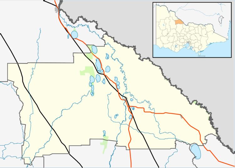
Tittybong is a locality in the northwest of Victoria, Australia, within the Shires of Gannawarra and Buloke. Tittybong is located west of Kerang and east of the Calder Highway. It is south of Swan Hill, Tittybong's nearest large town.
Contents
Map of Tittybong VIC 3542, Australia
History
The Tittybong Post Office opened on 1 January 1884 and closed in 1968.
References
Tittybong, Victoria Wikipedia(Text) CC BY-SA