
Time zone CET (UTC+1) Area 15.2 km² Population 870 (2015) | County Szabolcs-Szatmár-Bereg Postal code 4831 Local time Saturday 9:26 PM Area code 45 | |
 | ||
Weather 13°C, Wind SE at 6 km/h, 49% Humidity | ||
Tiszaszalka is a village in Szabolcs-Szatmár-Bereg county, in the Northern Great Plain region of eastern Hungary.
Contents
Map of Tiszaszalka, Hungary
Geography
It covers an area of 15.20 km2 (6 sq mi) and has a population of 870 people (2015).
The village is centred on a Reformed Church and school building, both rebuilt in recent years following Flooding.
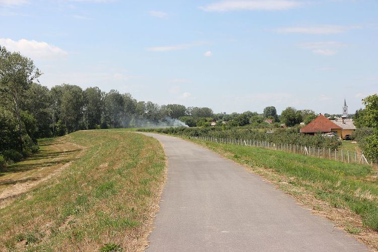
Recent improvements to the flood defence system (raised earth berm) separating the village from the river Tisza, has allowed the emergency services and local population to utilise the berm as a vehicle and bicycle route.
Recent improvements in road infrastructure, namely the construction of the M3 motorway, has made the region more easily accessible from the west.
References
Tiszaszalka Wikipedia(Text) CC BY-SA