
Elevation 504 m (1,654 ft) Area 66.54 km² Population 9,188 (31 Dec 2008) | District Tirschenreuth Time zone CET/CEST (UTC+1/+2) Local time Saturday 8:06 PM Postal code 95643 | |
 | ||
Weather 16°C, Wind S at 5 km/h, 59% Humidity | ||
In media tir zukunft gestalten imagefilm der stadt tirschenreuth
Tirschenreuth is the capital city of the district of Tirschenreuth. It is located in the northeast of Bavaria, very close to the Czech-Bavarian border.
Contents
- In media tir zukunft gestalten imagefilm der stadt tirschenreuth
- Map of Tirschenreuth Germany
- Geography
- Incorporations
- History
- Economy
- International relations
- Notable residents
- References
Map of Tirschenreuth, Germany
Geography
Tirschenreuth is located in the north of Upper Palatinate administrative region, around 75 miles north of Regensburg and 35 miles east of Bayreuth.
Incorporations
The following villages were incorporated in Tirschenreuth
History
Until the German Mediatisation in 1803, Tirschenreuth was part of the possessions of the Cistercian Abbey Waldsassen. It received its town charter from Waldsassen's abbot Johann V. in 1364. Originally the Waldsassen Abbey and its possessions were immediately subordinate to the Holy Roman Empire. After this state was ended in the 16th century, Tirschenreuth first became part of the Electorate of the Palatinate, then part of Bavaria. It became capital of the district of the same name. In 1972, when the segmenting of bavarian districts was reformed, the district of Tirschenreuth was expanded with the former district of Kemnath.
Economy
One well-known company that resides in Tirschenreuth is Hamm AG, a manufacturer for road rollers.
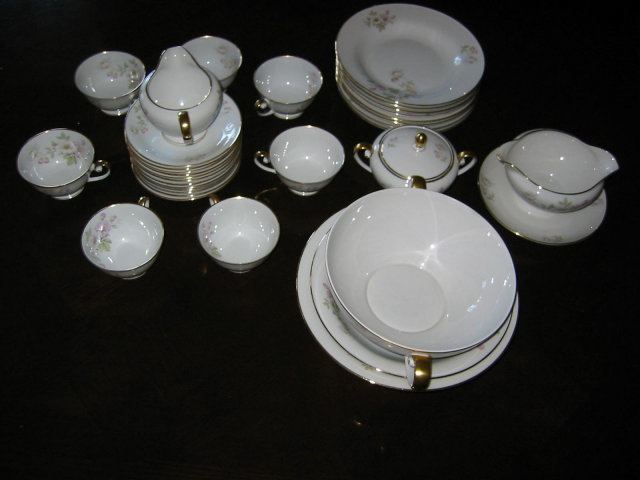
Tirschenreuth was famous for fine quality porcelain and vintage pieces are highly sought after by collectors. The Famous Porcelain Factory was shut down many years ago.
International relations
Tirschenreuth is twinned with: