
 | ||
Tintyava Peak (Bulgarian: връх Тинтява, ‘Vrah Tintyava’ \'vr&h tin'tya-va) is the ice-covered peak rising to 950 m in the north foothills of Louis-Philippe Plateau on Trinity Peninsula in Graham Land, Antarctica. It is surmounting the upper course of Sestrimo Glacier to the east-southeast.
Contents
Map of Tintyava Peak, Antarctica
The peak is named after the settlement of Tintyava in Southern Bulgaria.
Location
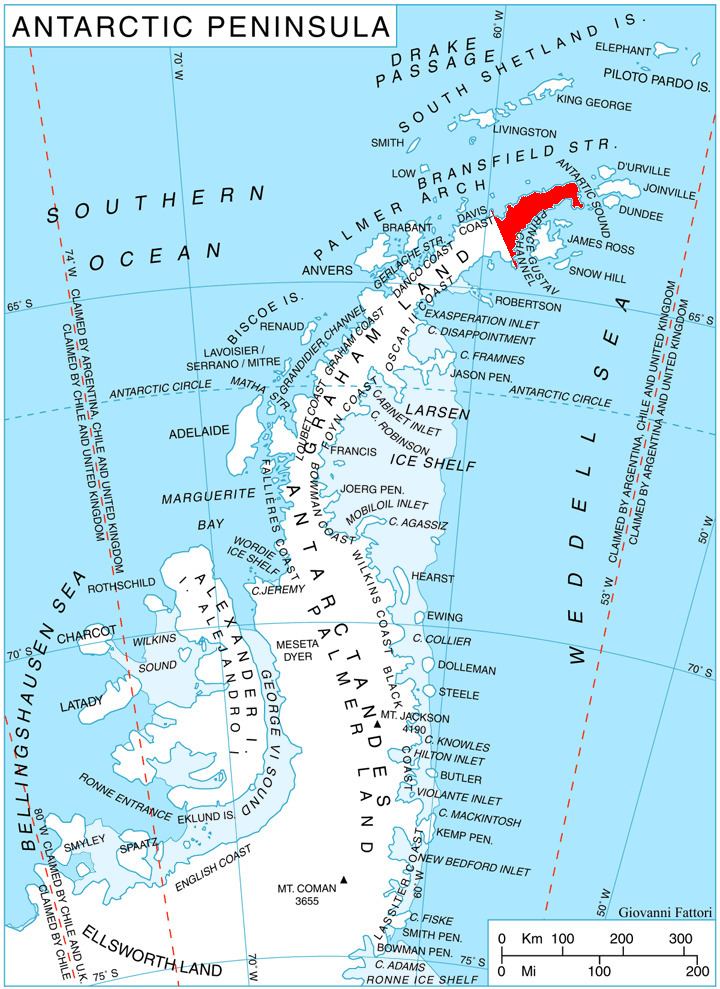
Tintyava Peak is located at 63°31′02″S 58°14′10″W, which is 2.28 km west-southwest of Mount D’Urville, 9.57 km north-northwest of Kukuryak Bluff and 13.16 km east-northeast of Lardigo Peak. German-British mapping in 1996.
Maps
References
Tintyava Peak Wikipedia(Text) CC BY-SA