
- elevation 1,161 ft (354 m) | - elevation 4,619 ft (1,408 m) | |
 | ||
Similar John River, Alatna River, Birch Creek, Kobuk River, Mount Igikpak | ||
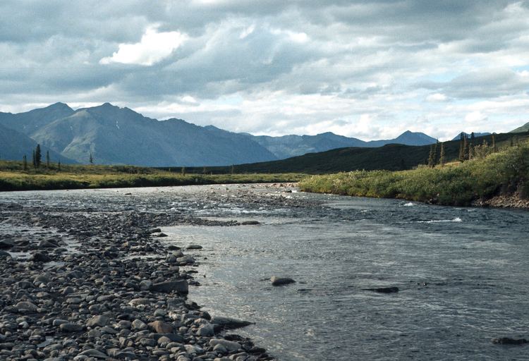
The Tinayguk River is a 44-mile (71 km) tributary of the North Fork Koyukuk River in the U.S. state of Alaska. Heading in the Endicott Mountains of the Brooks Range, the river flows generally west then south to meet the larger river about 80 miles (130 km) north of Bettles.
Contents
Map of Tinayguk River, Alaska, USA
In 1980, the entire river was designated "wild" and added to the National Wild and Scenic Rivers System. The designation means that the Tinayguk is unpolluted, free-flowing and generally inaccessible except by trail and that its watershed is essentially primitive.
The river's name means Moose in Inupiat. In 1930, forester Robert "Bob" Marshall recommended it as an alternative to West Fork, a local name that Marshall considered over-used.
Boating
Although whitewater enthusiasts sometimes run the river in small rafts or inflatable canoes or kayaks, it is remote, hazardous, and difficult to reach. It is a small one-channel river that drops 80 feet per mile (15 m/km) over its first 12 miles (19 km) and an average of 25 feet per mile (4.7 m/km) over the rest of its course. The upper reaches are rated Class III (difficult) on the International Scale of River Difficulty, while the rest of the river varies between Class II (medium) and Class III. Hazards include swift current, shallow water, sharp bends, logjams, boulders, and aufeis.