
Total islands 1 Length 16.5 km (10.25 mi) Elevation 244 m Literacy 84.4% Area code 03192 | Major islands Tillangchong Width 2 km (1.2 mi) Area 14.7 km² Postal code 744301 | |
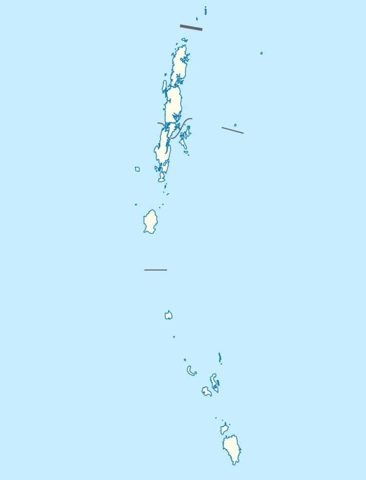 | ||
Tillangchong is an island and a village in the Nicobar district of Andaman and Nicobar Islands, India.
Contents
- Map of Tillanchong Island Andaman and Nicobar Islands
- Administration
- Geography
- Flora and Fauna
- Demographics
- References
Map of Tillanchong Island, Andaman and Nicobar Islands
Administration
The island belongs to the township of Nancowry of Teressa Taluk.
Geography
The island is a part of the Nicobar Islands chain, located in the northeast Indian Ocean between the Bay of Bengal and the Andaman Sea.
Flora and Fauna
The island has the largest surviving populations of the endemic Nicobar megapode (Megapodius nicobariensis), and is a protected sanctuary.
Demographics
At the time of 2011 census, the island was largely uninhabited apart from a police post at Novara Bay, with several Policemen and their families, with the island being held sacred to the Nicobarese people, who visit in one season annually to "...to pray, to feel, and to revere...".
According to the 2011 census of India, Tillang Chong Island has 4 households. The effective literacy rate (i.e. the literacy rate of population excluding children aged 6 and below) is 89.47%.