
 | ||
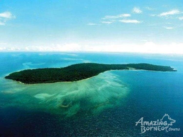
Tiga Island (Malay: Pulau Tiga) is one of a group of small uninhabited islands in Kimanis Bay off the western coast of Sabah, Malaysia. The islands were formed on 21 September 1897, when an earthquake on Mindanao caused a volcanic eruption near Borneo. The island is 607 hectares (1,500 acres) in size and has a couple of active mud volcanos at the highest part of the island. Tiga Island is one of the three islands that make up Tiga Island National Park. The Park Headquarters are on the island, comprising an office complex, and accommodation for the park staff and visiting scientists.
Contents
Map of Pulau Tiga, Sabah, Malaysia
Transportation
Located 48 km south of Kota Kinabalu and the Tunku Abdul Rahman National Park, Tiga Island National Park is reached by driving the 140 km to Kuala Penyu, a small settlement on the tip of the Klias Peninsula.
From here it is another 18 kilometres (11 miles), or about 30 minutes, by boat. Another way of getting there is by chartering a speed boat from Kota Kinabalu and cruise to Tiga Island, or fly to Labuan and charter a speed boat from Labuan.
In the media
Tiga Island became well known through the Survivor television series. It was the setting of Survivor: Borneo, the first American season of the show. It was also the setting of the first seasons of the British shows. The island was also rumoured to be the setting of the upcoming third season of Australian Survivor. However, it was later revealed that Samoa would be used as the location for the series.