
Time zone CET/CEST (UTC+1/+2) Area 34.71 km² Local time Friday 9:24 PM Dialling code 03695 | Elevation 240 m (790 ft) Postal codes 36469 Population 4,161 (31 Dec 2008) Postal code 36469 | |
 | ||
Weather 16°C, Wind S at 13 km/h, 43% Humidity | ||
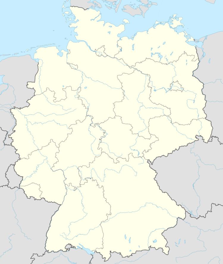
Tiefenort is a municipality in the Wartburgkreis district of Thuringia, Germany. It is situated on the river Werra, 5 km west of Bad Salzungen, and 8 km east of Vacha, Germany.
Contents
Map of Tiefenort, Germany
History
An 1137 document of the Hersfeld Abbey already contains a reference to Tiefenort (Diffeshart). The establishment of the township was closely related to the castle Krayenburg, which dates back to 786 (at least).
Within the German Empire (1871-1918), Tiefenort was part of the Grand Duchy of Saxe-Weimar-Eisenach.
References
Tiefenort Wikipedia(Text) CC BY-SA