
Founded 12 October 1537 Elevation 2,115 m Local time Friday 11:49 AM | Website Official website Area 121.8 km² Population 9,186 (2015) | |
 | ||
Time zone Colombia Standard Time (UTC-5) Weather 19°C, Wind SE at 13 km/h, 67% Humidity Founder | ||
Documental sobre la historia cultura y sitios tur sticos de tiban boyac
Tibaná is a town and municipality in the Colombian Department of Boyacá, part of the subregion of Márquez Province. The urban centre of Tibaná is situated on the Altiplano Cundiboyacense at an altitude of 2,115 metres (6,939 ft) and a distance of 38 kilometres (24 mi) from the department capital Tunja. It borders Jenesano in the north, Ramiriquí and Chinavita in the east, Chinavita and Úmbita in the south and in the west Turmequé and Nuevo Colón.
Contents
- Documental sobre la historia cultura y sitios tur sticos de tiban boyac
- Map of TibanC3A1 BoyacC3A1 Colombia
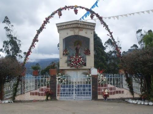
- Tiban boyac
- Etymology
- History
- Economy
- References
Map of Tiban%C3%A1, Boyac%C3%A1, Colombia
Tiban boyac
Etymology
Tibaná is named after the Tibanaes, a Chibcha-speaking tribe of the Muisca. Tiba means "chief".
History
The area around Tibaná was part of the Muisca Confederation and loyal to the zaque of Hunza. Modern Tibaná was founded early in the Spanish conquest; on October 12, 1537 Spanish conquistador Gonzalo Jiménez de Quesada established the village.
Economy
Main economical activity of Tibaná is horticulture (deciduous trees) and agriculture (potatoes). Mining is restricted to small-scale operations, mainly coal, gravel and clay.