
Population 3,301 (2011) Sovereign state United Kingdom | OS grid reference SK6504 Postcode district LE7 Post town Leicester | |
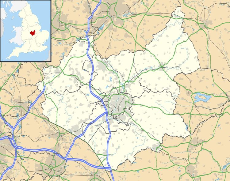 | ||
Thurnby and Bushby, sometimes known as Thurnby is a civil parish in the Harborough district of Leicestershire, England.
Contents
Map of Thurnby and Bushby, UK
According to the 2001 census it had a population of 3,147, increasing to 3,301 at the 2011 census.
Position
It forms part of the Leicester Urban Area, and is on the A47 road, just east of the city area of Evington.
It constitutes Thurnby and Bushby, which have formed a single civil parish since 1935.
Conveniences
References
Thurnby and Bushby Wikipedia(Text) CC BY-SA