
OS grid reference SK6504 Postcode district LE7 Local time Friday 1:34 PM | Sovereign state United Kingdom | |
 | ||
Weather 14°C, Wind SW at 23 km/h, 64% Humidity | ||
Thurnby is a village just east of Leicester's city boundaries, in the Harborough district.
Contents
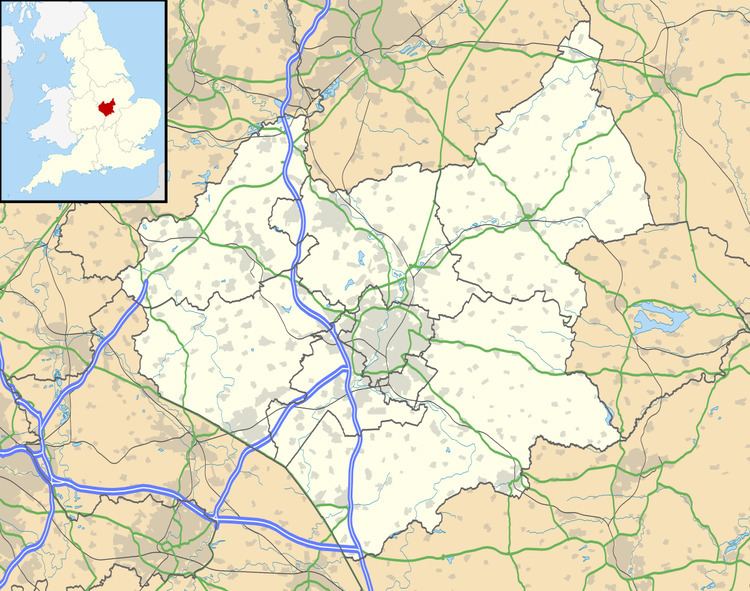
Map of Thurnby, Leicester, UK
Thurnby village proper is set to the south of the A47, just after it leaves the city. A sister village, Bushby lies just to the East and merges into it such that the two have made one civil parish, Thurnby and Bushby (where the population is listed), having been combined since 1935. To the west is Evington and Thurnby Lodge in Leicester proper, to the north is Scraptoft and to the south and east are open countryside - the next villages in these directions are Stoughton and Houghton on the Hill.
History
Thurnby is not mentioned in the Domesday Book, possibly being considered part of Stoughton, but is recorded by the 13th century. By 1563 there were 40 households recorded in Thurnby and Bushby but declined in the following years, with only 22 by 1670 - however there is little population data available surrounding much of the general history.
Thurnby church, now St Luke's, originates from around 1143 although many alterations and restorations have occurred since the original build.
Amenities
Thurnby has two primary schools, Fernvale Primary and St Lukes C of E primary school, which has strong links with St. Lukes Church. There is now only 1 public house, The Rose and Crown, as The Swallow has since closed. There is also a large Scout and Guide group, situated on Court Road.