
Country Thailand Time zone THA (UTC+7) Area 115 km² Province Pattani Province | Seat Talo Maena Postal code 94140 Population 20,203 (2005) Geocode 9406 | |
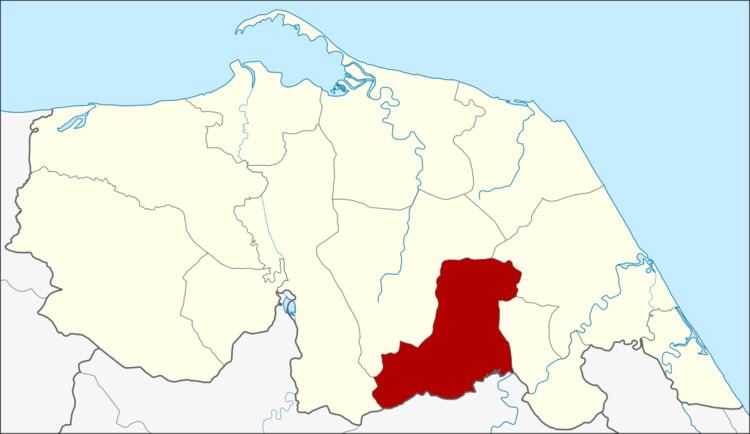 | ||
Thung Yang Daeng (Thai: ทุ่งยางแดง) is a district (Amphoe) of Pattani Province, southern Thailand.
Contents
Map of Thung Yang Daeng District, Pattani, Thailand
History
The minor district (King Amphoe) Thung Yang Daeng was created on May 16, 1977, when four tambon were split from Mayo district. On July 4, 1994 it was upgraded to a full district.
Geography
Neighboring districts are (from the south clockwise) Raman of Yala Province, Yarang, Mayo, Sai Buri and Kapho of Pattani Province.
Administration
The district is subdivided into 4 subdistricts (tambon), which are further subdivided into 22 villages (muban). There are no municipal (thesaban) areas, and 4 Tambon administrative organizations (TAO).
References
Thung Yang Daeng District Wikipedia(Text) CC BY-SA