Time zone IST (UTC+5:30) Elevation 27 m Population 7,794 (2011) | PIN 522 237 Area 14.92 km² Local time Friday 4:09 PM | |
 | ||
Weather 37°C, Wind S at 21 km/h, 41% Humidity | ||
Clash between farmers and crda officers over plots distribution thullur hmtv
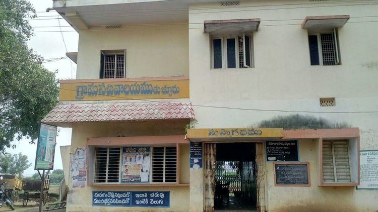
Thullur is a neighbourhood and a part of Urban Notified Area of Amaravati, the state capital of the Indian state of Andhra Pradesh. It is located at a distance of 4 km from Krishna River and was a village in Thullur mandal of Guntur district, prior to its denotification as gram panchayat.
Contents
- Clash between farmers and crda officers over plots distribution thullur hmtv
- Map of Thullur Andhra Pradesh 522237
- Demographics
- Transport
- Education
- References
Map of Thullur, Andhra Pradesh 522237
Demographics
As of 2011 Census of India, the town had a population of 7,794, of which males are 3,865, females are 3,929 and the population under 6 years of age are 700. The average literacy rate stands at 69.44 percent, with 4,925 literates.
Transport
Thullur is located on Vijayawada and Amaravati route. The village is served by the APSRTC city bus services from Vijayawada bus station and Guntur Bus Station
Education
The primary and secondary school education is imparted by government, aided and private schools, under the School Education Department of the state. The medium of instruction followed by different schools are English, Telugu.
