
OS grid reference NZ158668 Sovereign state United Kingdom Local time Friday 9:49 AM Dialling code 0191 | Post town NEWCASTLE UPON TYNE | |
 | ||
Weather 13°C, Wind S at 18 km/h, 81% Humidity | ||
Throckley summer school 2016
Throckley is a village, located approximately 11 km west of Newcastle upon Tyne, in North East England. Hadrian's Wall passes through the village, its course traced by the village's main road, Hexham Road.
Contents
- Throckley summer school 2016
- Map of Throckley Newcastle upon Tyne UK
- Sightseeing and scenery
- References
Map of Throckley, Newcastle upon Tyne, UK
Throckley was a colliery village, being adjacent to Throckley Colliery; although with the decline in the coal-mining industry the village is becoming gentrified, like many of its kind.
One of Throckley's more notable residents was William Brown, who was a consulting engineer in the 18th century, and part owner of Throckley Colliery at the time, responsible for the construction of many colliery waggonways throughout the North East of England.
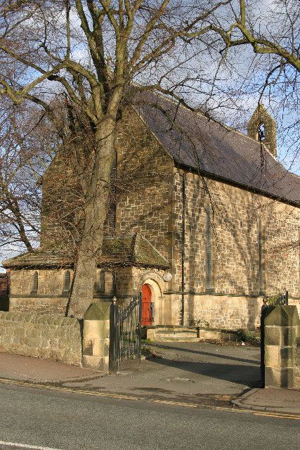
Throckley also offers a supermarket, car shop, a range of hair salons, pubs, 3 care homes for the elderly, two churches, a solarium, butcher, funeral parlour, working men's club, an optometrist, medical surgery, a range of newsagents, a chemist, a masonic hall and one school. Throckley's economy is also boosted with the presence of an industrial estate which is home to Throckley Brickworks and Warmseal Windows, two of its many businesses.
Sightseeing and scenery
Throckley itself, especially the Bank Top area, offers some views over the Tyne Valley, and looking west, to the distant Pennines. The Guardian featured Throckley in the top fifty walks guide for 2007.