
Ward 4 Area 3.27 km² | Quadrant NW Established 1954 Population 8,862 (2006) | |
 | ||
Weather 4°C, Wind N at 26 km/h, 83% Humidity Restaurants Gallagher's Pub & Eatery Ltd, Shanghai Classic Restaurant, Golden Central Chinese, Viet West, Tango Tropical Grill | ||
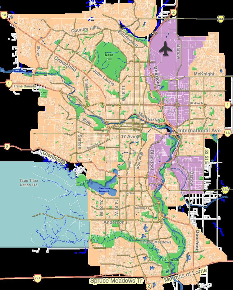
Thorncliffe is a residential neighbourhood in the north-east quadrant of Calgary, Alberta. It is bounded by 64 Avenue to the north, Deerfoot Trail to the east, McKnight Boulevard to the south and 14 Street W and Nose Hill Park to the west.
Contents
Map of Thorncliffe, Calgary, AB, Canada
Thorncliffe was established in 1954. It is represented in the Calgary City Council by the Ward 4 councillor.
Demographics
In the City of Calgary's 2012 municipal census, Thorncliffe had a population of 7003869300000000000♠8,693 living in 7003385800000000000♠3,858 dwellings, a 0.6% increase from its 2011 population of 7003864000000000000♠8,640. With a land area of 3.3 km2 (1.3 sq mi), it had a population density of 2,630/km2 (6,820/sq mi) in 2012.
Residents in this community had a median household income of $50,009 in 2000, and there were 20.8% low income residents living in the neighbourhood. As of 2000, 18.8% of the residents were immigrants. A proportion of 13.8% of the buildings were condominiums or apartments, and 34% of the housing was used for renting.
Education
The community is served by Colonel Sanders Elementary and Thorncliffe Elementary public school, as well as by Corpus Christi Elementary School (Catholic).