Puneet Varma (Editor)

Thiembronne

Updated on
Edit
Like
Comment
Share on FacebookTweet on TwitterShare on LinkedInShare on Reddit
Country
  
France

Department
  
Pas-de-Calais

Intercommunality
  
Pays de Saint-Omer

Area
  
22.82 km²

Local time
  
Thursday 10:43 AM

Region
  
Hauts-de-France

Canton
  
Fauquembergues

Time zone
  
CET (UTC+1)

Population
  
621 (1999)

Arrondissement
  
Saint-Omer

Thiembronne wwwcommunescomimagesorigpostcardmaxi62812a

Weather
  
16°C, Wind S at 18 km/h, 64% Humidity

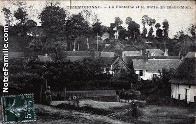
Thiembronne is a commune in the Pas-de-Calais department in the Hauts-de-France region of France.

Contents

Map of 62560 Thiembronne, France

Geography

Thiembronne is located 15 miles (24 km) southwest of Saint-Omer, on the D158 and D132 road junction.

Places of interest

  • The church of Saint Pierre, dating from the nineteenth century.
  • The nineteenth-century château.
  • The remains of the medieval château, destroyed in 1595.
  • References

    Thiembronne Wikipedia