
Population 1,340 (2011) Sovereign state United Kingdom Local time Sunday 2:41 PM | OS grid reference TL214758 | |
 | ||
Weather 14°C, Wind E at 13 km/h, 57% Humidity | ||
The Stukeleys is a civil parish in the district of Huntingdonshire, in Cambridgeshire, England, consisting of the villages of Great Stukeley and Little Stukeley. The two villages are just north-west of Huntingdon. As well as the two villages, the parish also includes Huntingdon racecourse and Alconbury Airfield (formerly RAF Alconbury). The East Coast Main Line runs across the eastern edge of the parish. The A14 road runs south-east to north-west across the western half of the parish and has junction with the A1 road just outside the western border of the parish.
Contents
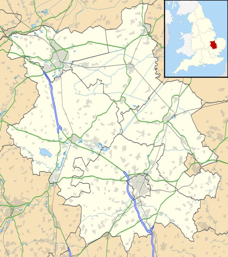
Map of The Stukeleys, UK
Government
The Stukeleys has its own elected parish council that is responsible for providing and maintaining a variety of local services including the allotments, street lighting, play areas, grass cutting and tree planting. It helps to maintain and extend the paths in the built area and the countryside, provides the bus shelter, litter, dog-waste and salt bins. A committee of the parish council reviews all planning applications and makes recommendations to Huntingdonshire District Council, which is the planning authority for the parish. The parish council also represents the views of the parish on issues such as local transport, policing and the environment. The parish council raises its own tax to pay for these services, known as the parish precept, which is collected as part of the Council Tax. In 2015, The Stukeleys parish council had nine members; meetings were held on the first Monday of a month either in Great Stukeley Village Hall or in Little Stukeley Village Hall
Population
All population census figures from report Historic Census figures Cambridgeshire to 2011 by Cambridgeshire Insight.
Great Stukeley and Little Stukeley were combined into a single parish at some time between 1931 and 1951.
In 2011, the parish covered an area of 4,552 acres (1,842 hectares) and so the population density for The Stukeleys in 2011 was 188.4 persons per square mile (72.7 per square kilometre).
Energy Generation
A solar farm was built towards the village of Abbots Ripton, just inside the parish boundary at 52.375°N 0.200°W / 52.375; -0.200. It covers an area of 150 acres (61 hectares), contains over one hundred thousand photovoltaic solar panels and is one of the larger solar farms in England. It started power generation in March 2014 and has a peak capacity of 24.7MWp; enough to power over 7,000 households.