Time zone CET (UTC+1) Area 9.86 km² Population 302 (1999) | INSEE/Postal code 18262 /18300 Local time Thursday 7:41 PM | |
 | ||
Weather 21°C, Wind SE at 13 km/h, 47% Humidity | ||
Thauvenay is a commune in the Cher department in the Centre region of France.
Contents
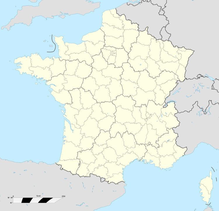
Map of 18300 Thauvenay, France
Geography
A winegrowing and farming village situated on the banks of both the river Vauvise and the Loire lateral canal, about 33 miles (53 km) northeast of Bourges at the junction of the D920 with the D206, D202 and the D159 roads. The commune is one of 14 permitted to grow grapes for Sancerre AOC wine. The Vauvise flows northwest through the middle of the commune; the Loire forms part of its northeastern boundary.
Sights
References
Thauvenay Wikipedia(Text) CC BY-SA
