
PIN 691020 | Time zone IST (UTC+5:30) Vehicle registration KL-02 | |
 | ||
Government body Kollam Municipal Corporation | ||
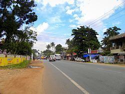
Thattamala (Malayalam: തട്ടാമല) is a neighbourhood situated at the southeast border of Kollam city in state of Kerala, India. It is situated at National Highways – NH 66 (Earlier NH 47). Kerala Police have identified Thattamala as one of the traffic black spots in the state.
Contents
- Map of Thattamala Mylapure Palathara Kerala 691020
- Major PublicPrivate Institutions near Thattamala
- References
Map of Thattamala, Mylapure, Palathara, Kerala 691020
Thattamala was a part of old Vadakkevila panchayath before the constitution of Kollam as a city. In 2000, Kollam was upgraded by the Government of Kerala as the 4th Municipal Corporation of Kerala by merging Vadakkevila, Kilikollur, Sakthikulangara and Eravipuram panchayaths with Kollam Municipality.
Major Public/Private Institutions near Thattamala
References
Thattamala Wikipedia(Text) CC BY-SA