
Population 676 (2011 census) Postal code 2680 | Postcode(s) 2680 Local time Friday 1:50 AM | |
 | ||
Weather 13°C, Wind S at 21 km/h, 56% Humidity | ||
Farm 1802c whites road 1802b kidman way 1802e siviour lane tharbogang
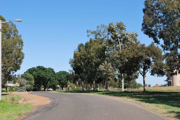
Tharbogang is a village and rural locality in the Riverina region of southwest New South Wales, Australia. The village is in the City of Griffith local government area and on the Kidman Way, 8 kilometres (5.0 mi) north west of the centre of Griffith and 580 kilometres (360 mi) west of the state capital, Sydney.
Contents
- Farm 1802c whites road 1802b kidman way 1802e siviour lane tharbogang
- Map of Tharbogang NSW 2680 Australia
- References
Map of Tharbogang NSW 2680, Australia
At the 2011 census, Tharbogang and the surrounding rural area had a population of 676.
Tharbogang is a former station on the Temora–Roto railway line.
References
Tharbogang Wikipedia(Text) CC BY-SA