
Existed: by 1922 – present | Length 115.6 km | |
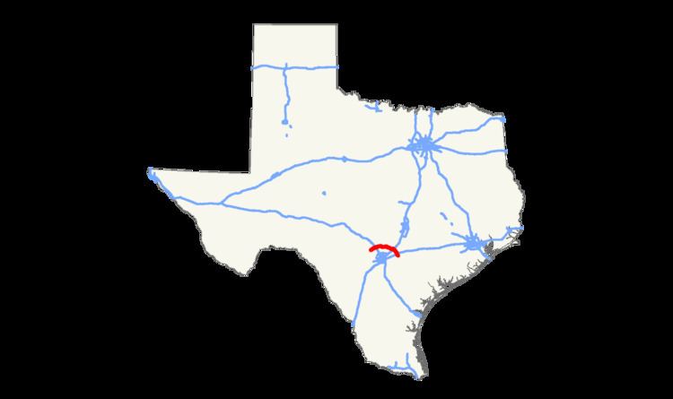 | ||
State Highway 46, or SH 46, is a 71.4-mile (114.9 km) state highway in the U.S. state of Texas that runs from State Highway 16 east of Bandera to the intersection of SH 123 and SH 123 Business just south of Seguin.
Contents
Map of TX-46, Texas, USA
History
SH 46 was originally designated by 1922 as a route from New Braunfels north to Blanco. By 1926, the route had been shortened, with the section north of Spring Branch transferred to SH 108. This alignment of SH 46 only consisted of the portion from U.S. Highway 281 (US 281) to US 81 in New Braunfels. US 81 no longer exists today in favor of Interstate 35 (I-35) and is known as a business loop of I-35. In October 1967, the highway was relocated in New Braunfels to the east along the alignment of Loop 337 (Loop 337), but still had an eastern terminus at US 81. The original alignment in New Braunfels was redesignated as Loop 453, but to be signed as a business route of SH 46. In 1991, the designation of this segment was officially changed to Business 46. In February 1968, it was extended to the south from US 81 to I-35. In October 1988, the highway was extended at both ends, extending the eastern end south along Farm to Market Road 25 from I-35 and FM 78 and then along Spur 351 from FM 78 to I-10 in Seguin. The western terminus was extended to the west along Ranch to Market Road 475 from US 281 to SH 16. A portion of this route had been FM 1719 which had been combined with RM 475 in 1951. In May 1990, the highway was extended to its current alignment when it was extended south from I-10 to SH 123 along Spur 351.
Route description
SH 46 begins at its western terminus at SH 16, east of Bandera in Bandera County. The highway heads to the northeast, crossing over into Kendall County on its way to Boerne where it intersects with I-10 and US 87. SH 46 carries the street name of Bandera Road from I-10 until US 87. At US 87, there is a short break in the highway with SH 46 continuing again further north with the name River Road. SH 46 leaves the city limits of Boerne to the east and follows an east-northeast routing through rural Kendall County. An intersection with FM 3351 occurs just prior to heading into Comal County. Continuing to the east, SH 46 passes FM 2696 before coming into the city of Bulverde. In Bulverde, SH 46 intersects with US 281 at a diamond interchange, which provides access to San Antonio to the south. The highway continues to the east-southeast, passing several farm-to-market roads with FM 3159 and RM 2722 providing access to Canyon Lake. As it enters New Braunfels, Texas, it intersects and becomes concurrent with Loop 337, providing the northern and eastern arcs of the loop around New Braunfels. In New Braunfels, the highway passes over the Guadalupe River and intersects I-35. Continuing to the south-southeast, it heads towards Seguin as it passes into Guadalupe County and roughly parallels the Guadalupe River to the east. In Seguin, SH 46 passes I-10 and US 90 before ending at SH 123 just south of Seguin.