
Area 67,046 km² | - elevation 1,440 m (4,724 ft) - elevation 474 m (1,555 ft) Area code 806 | |
 | ||
Massive grass fires burn through texas panhandle
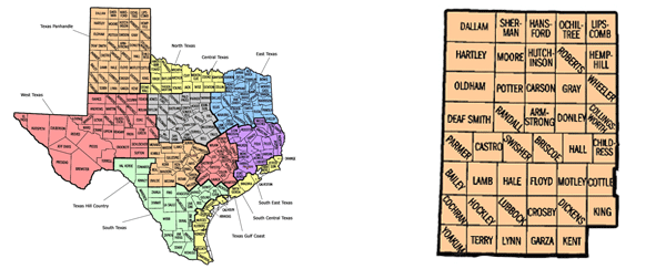
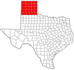
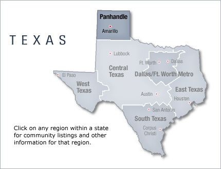
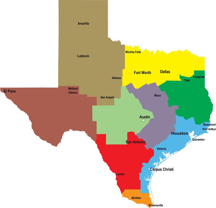
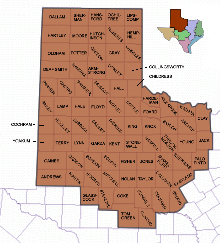
The Texas Panhandle is a region of the U.S. state of Texas consisting of the northernmost twenty-six counties in the state. The panhandle is a rectangular area bordered by New Mexico to the west and Oklahoma to the north and east. The Handbook of Texas defines the southern border of Swisher County as the southern boundary of the Texas Panhandle region, though some consider the region to extend as far south as Lubbock County. The Texas Panhandle Press Association accepts members in the actual panhandle and a triangle formed by its southern tier, the southeastern border of New Mexico and a diagonal to the beginning, which includes Lubbock County.
Contents
- Massive grass fires burn through texas panhandle
- Aerial footage of fires burning in texas panhandle
- Demographics
- Counties
- Cities and towns
- Politics
- References
Its land area is 25,823.89 sq mi (66,883.58 km2), or nearly 10 percent of the state's total. The Texas Panhandle is slightly larger in size than the US State of West Virginia. There is an additional 62.75 sq mi (162.53 km2) of water area. Its population as of the 2010 census was 427,927 residents, or 1.7 percent of the state's total population. As of the 2010 census, the population density for the region was 16.6 per square mile (6.4/km2). The Panhandle is distinct from North Texas, which is farther southeast.
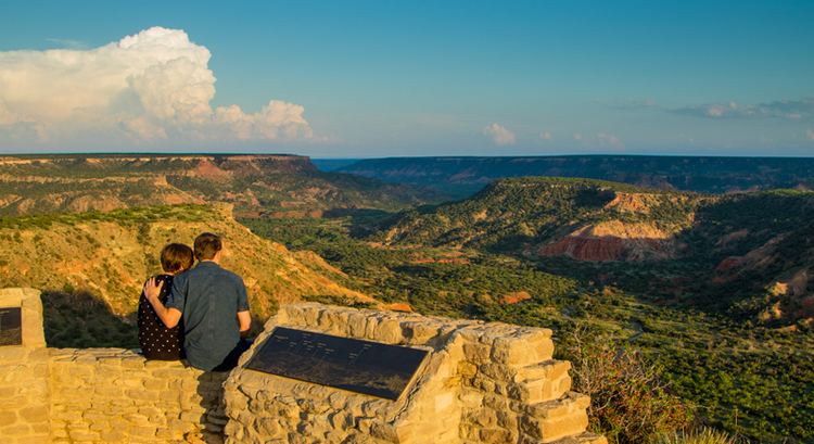
West of the Caprock Escarpment and north and south of the Canadian River breaks, the surface of the Llano Estacado is rather flat. South of the city of Amarillo, the level terrain gives way to Palo Duro Canyon, the second largest canyon in the United States. This colorful canyon was carved by the Prairie Dog Town Fork Red River. North of Amarillo lies Lake Meredith, a reservoir created by Sanford Dam on the Canadian River. The lake, along with the Ogallala Aquifer, provides drinking water and irrigation for this moderately dry area of the high plains.
Interstate Highway 40 passes through the panhandle, and also passes through Amarillo. The highway passes through Deaf Smith, Oldham, Potter, Carson, Gray, Donley, and Wheeler Counties.
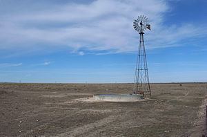
The Texas Panhandle has been identified in the early 21st century as one of the fastest-growing windpower-producing regions in the nation because of its strong, steady winds.
Before the rise of Amarillo, the three original towns of the Panhandle were Clarendon in Donley County, Mobeetie in Wheeler County, and Tascosa in Oldham County. Clarendon moved itself after it was overlooked by the Fort Worth and Denver Railroad. Mobeetie was reduced even below its original small size with the closure of the United States Army's Fort Elliott in 1890. Tascosa was ruined by the location of the railroad too far north of the town and the inability to build a feeder line. The Tascosa Pioneer wrote in 1890: "Truly this is a world which has no regard for the established order of things but knocks them sky west and crooked, and lo, the upstart hath the land and its fatness."
Aerial footage of fires burning in texas panhandle
Demographics
As of the census of 2000, approximately 402,862 people lived in the panhandle. Of these, 68.9% were non-Hispanic White, 23.8% were Hispanic, and 4.6% were African American. Only 2.7% were of some other ethnicity. 92.3% of inhabitants claimed native birth, and 8.9% were veterans of the United States armed forces. 49.9% of the population was male, and 50.1% was female. 13.2% of the population were 65 years of age or older, whereas 27.8% of the population was under 18 years of age.
Counties
The 26 northernmost counties that make up the Texas Panhandle include:
Cities and towns
Major cities of the Texas Panhandle with populations greater than 10,000 include:
Some of the smaller towns with populations less than 10,000 include:
Politics
Much like the rest of West Texas and the Oklahoma Panhandle, the region is very politically and socially conservative. It was one of the first regions of the state to break away from its Democratic roots, though Democrats continued to do well at the local level well into the 1980s. However, Republicans now dominate every level of government, holding nearly every elected post above the county level.
In the 2008 Presidential Election, John McCain received 78.82% of the vote, as compared with Barack Obama's 20.48% share of the vote. Other candidates received 0.70% of the total vote. However, most (62.2%) of Barack Obama's votes came from Potter and Randall Counties, near Amarillo, the only large city in the region, with the rest of the panhandle being even more strongly conservative. In Ochiltree County, John McCain received 91.97% of the vote.
Nearly all of the Panhandle is in Texas's 13th congressional district, represented by Republican Mac Thornberry. With a Cook Partisan Voting Index of R+29, it is tied for the most Republican district in the nation. The counties of Castro, Deaf Smith, and Parmer are in the Texas's 19th congressional district, represented by Republican Jodey Arrington.