
OS grid reference NO828854 Sovereign state United Kingdom Postcode district AB39 Local time Thursday 3:19 AM | Post town STONEHAVEN | |
 | ||
Weather 9°C, Wind SW at 14 km/h, 96% Humidity UK parliament constituency | ||
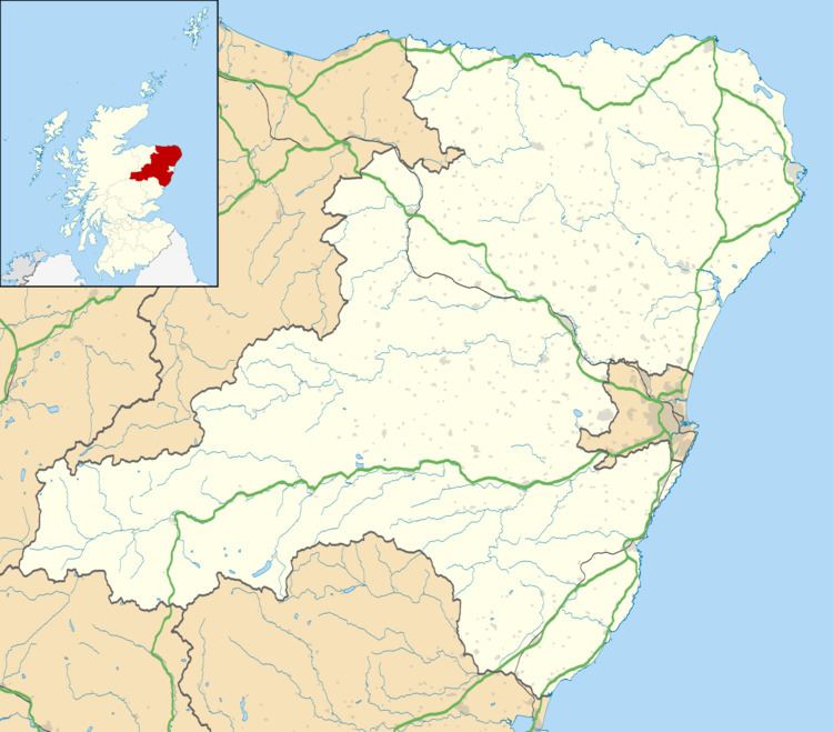
Tewel is a hamlet located approximately two miles west of Stonehaven, Kincardineshire on the Auchenblae Road in Northeast Scotland.
Contents
Map of Tewel, Stonehaven, UK
It consists of:
Nearby places of note
Significant historic listed buildings in the vicinity include: Fetteresso Castle, which is also the site of Bronze Age discoveries< and Muchalls Castle, originally a 14th-century tower house. Also in the vicinity are the villages of Auchenblae and Drumlithie, both considered part of the original region of Kincardineshire
References
Tewel Wikipedia(Text) CC BY-SA