PIN 496100 Elevation 224 m | Time zone IST (UTC+5:30) Vehicle registration CG | |
 | ||
Geography
It is located at an altitude of 224 m above MSL.
Location
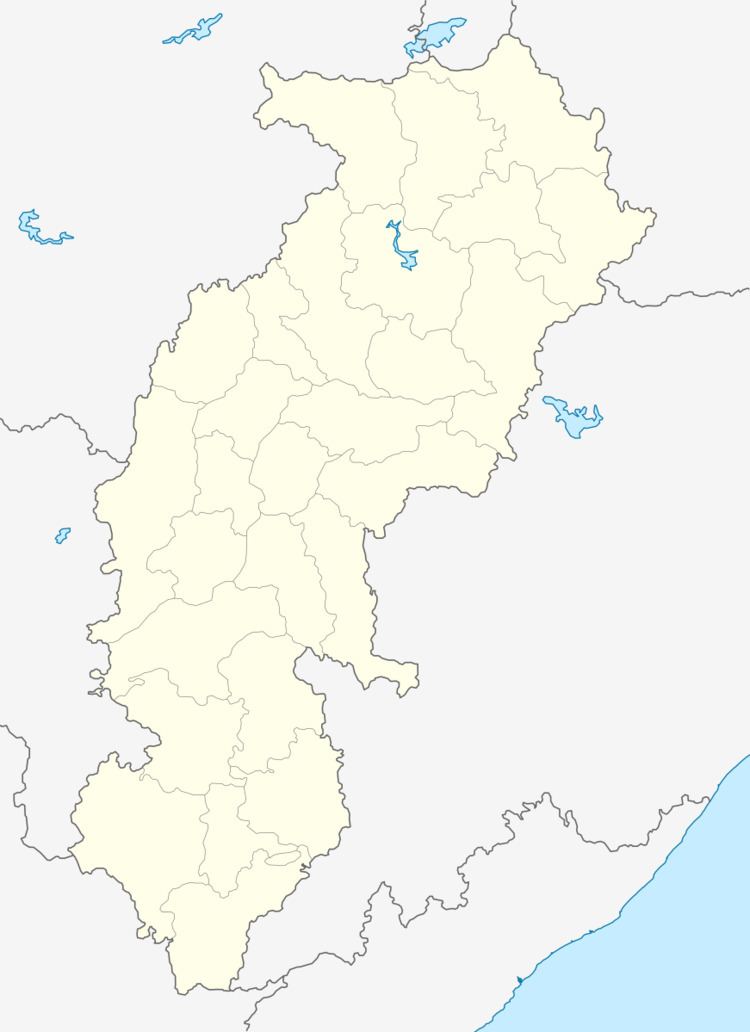
National Highway 200 passes through Tetla. It is about 12 km south of Raigarh. The nearest airport is Raipur Airport, and the nearest railway station is at Raigarh.
References
Tetla Wikipedia(Text) CC BY-SA
