
Mexico Ind. 1821 Elevation 7 m (23 ft) | Yucatán Est. 1824 Area 180.1 km² | |
 | ||
Time zone Central Standard Time (UTC-6) | ||
Tetiz Municipality (Yucatec Maya: "place of the sweet potato") is one of the 106 municipalities in the Mexican state of Yucatán containing (180.11 km2) of land and is located roughly 30 kilometres (19 mi) west of the city of Mérida.
Contents
- Map of Tetiz YucatC3A1n Mexico
- History
- Governance
- Communities
- Local festivals
- Tourist attractions
- References
Map of Tetiz, Yucat%C3%A1n, Mexico
History
There is no accurate data on when the town was founded, but it was a settlement before the conquest and was located in the chieftainship of Ak Canul. After colonization, the area became part of the encomienda system with various encomenderos, including Pablo de Aguilar and Alonso Hernández between 1700 and 1750.
Yucatán declared its independence from the Spanish Crown in 1821 and in 1825 the area was assigned to the Lower Camino Real under the Hunucma Municipality. In 1918 the area was confirmed as its own municipality.
Governance
The municipal president is elected for a three-year term. The town council has four councilpersons, who serve as Secretary and councilors of heritage and public works; police and transit; public services, education and health; and parks, gardens and ecology.
Communities
The head of the municipality is Tetiz, Yucatán. The municipality has 10 other populated places including Homote, Kooté, Muxupilo, Nohuayum, San Antonio, San Antonio Viudas, San Francisco, Toxix and Yulca. The significant populations are shown below:
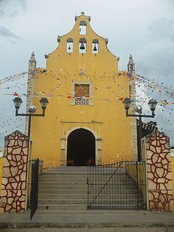
Local festivals
Every year from 10 to 15 August the town hods a festival in honor of our Lady of the Asunción.