
Maintained by City of Portland South end Oregon State Route 43 | Length 7.4 mi (11.9 km) North end Southwest 6th Avenue | |
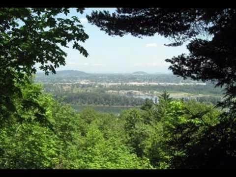 | ||
Terwilliger Boulevard is a street in Portland, Oregon, U.S. It begins at southwest 6th Avenue and Interstate 405 near Portland State University. It passes through the neighborhoods of Marquam Hill, Southwest Hills, and Burlingame and by Lewis and Clark College before ending at Oregon Route 43 in Lake Oswego. For portions of its route, it is a traditional parkway through Duniway and Marquam Parks. The land surrounding Terwilliger Boulevard is heavily wooded in nature.
Contents
Map of SW Terwilliger Blvd, Portland, OR, USA
The road was first planned in 1903 by John Olmsted and Frederick Law Olmsted, Jr. for use as a pleasure parkway. The parkway was completed in 1915. It is named for James Terwilliger, who owned the land on which the parkway was built.
It is the namesake of the Terwilliger curves, one of the most dangerous stretches of I-5 in Oregon, and possibly also The Simpsons character "Sideshow Bob" Terwilliger.
Points of interest
(listed north to south)
Transit
North of Capitol Highway (shared by Oregon Route 10 in the area where Terwilliger crosses), the street is served by TriMet bus line 8, and south of Capitol Highway bus lines 38 and 39 serve some sections of it.