
Population 891 (2011) Civil parish Terrington St John Area 8.26 km² | OS grid reference TF537140 Sovereign state United Kingdom | |
 | ||
District | ||
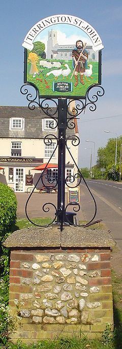
Terrington St John is a village and civil parish in the English county of Norfolk. The village lies to the south of the route of the A47 between Peterborough and Kings Lynn.
Map of Terrington St. John, UK
It covers an area of 8.26 km2 (3.19 sq mi) and had a population of 882 in 336 households at the 2001 census, the population slightly increasing to 891 at the 2011 Census. For the purposes of local government, it falls within the district of North Norfolk.
References
Terrington St John Wikipedia(Text) CC BY-SA