
INSEE/Postal code 97131 /97137 Area 5.22 km² Local time Wednesday 1:05 PM | Elevation 0–306 m (0–1,004 ft) Population 1,780 (2011) Number of airports 1 | |
 | ||
Weather 28°C, Wind SE at 10 km/h, 75% Humidity | ||
Guadeloupe terre de haut
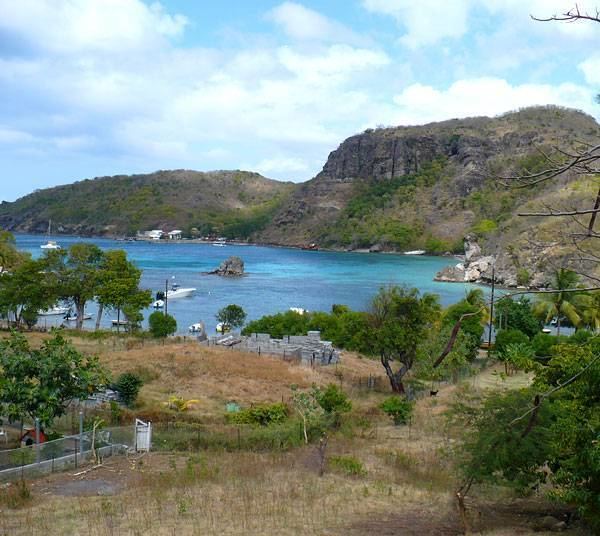
Terre-de-Haut is a commune in the French overseas department of Guadeloupe, including Terre-de-Haut Island and a few other small uninhabited islands of the archipelago (les Roches Percées; Îlet à Cabrit; Grand-Îlet; la Redonde). It is the most populous island of the archipelago of the les Saintes. The Fort Napoléon is located in this commune.
Contents
- Guadeloupe terre de haut
- Map of Terre de Haut Guadeloupe
- H tel bois joli terre de haut guadeloupe hd review
- Tourism
- Points of interest
- References
Map of Terre-de-Haut, Guadeloupe
H tel bois joli terre de haut guadeloupe hd review
Tourism
Terre-de-Haut is the most tourist-friendly municipality in les Saintes archipelago, with hotels bungalows, bars and restaurants. There is little formalized activity, but one can tour the restored Fort Napoleon or rent mopeds. Located there is the beautiful Plage de Pompierre beach, as well as small guest-houses, eateries, French-Creole shops, and an active harbour where ferries passengers from Guadeloupe arrive. The local people make a living from fishing and from tourism. Visitors are free to explore without modern-day intrusion. The Euro is coin of the realm, but credit cards are easily accepted. A little airport is built since 1973 and permit to welcome private plane from Guadeloupe and Caribbean islands.