
Elevation 828 m (2,717 ft) | Time zone BRT/BRST (UTC-3/-2) | |
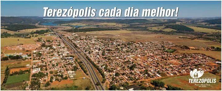 | ||
Terezópolis de Goiás is a municipality in central Goiás state, Brazil.
Contents
- Map of TerezC3B3polis de GoiC3A1s State of GoiC3A1s Brazil
- Location
- History
- Climate
- Political Information
- Demographic Information
- Economic Information
- Education 2006
- Health 2007
- Municipal Human Development Index
- References
Map of Terez%C3%B3polis de Goi%C3%A1s - State of Goi%C3%A1s, Brazil
Location
Terezópolis is located in the Goiânia Microregion, 28 kilometers northeast of the capital, Goiânia. Neighboring municipalities are:
History
Terezópolis began in 1948 with the building of the important highway, BR-153, which connects the south with Belém. The town was the site of several stands along the road selling fruit, vegetables, local sweets and cheeses. Until 1992 it was called Santa Tereza and was a district of Goianápolis.
Climate
The average annual temperature is 22 °C with two well defined seasons: dry and rainy. The rainy season occurs in the months of November to March. The average annual rainfall is 1,300 milliliters and the relative humidity of the air is 50% to 70%.
Political Information
Demographic Information
Economic Information
The economy is based on subsistence agriculture, cattle raising, services, public administration, and small transformation industries.
Due to the proximity to the urban population of Goiânia, Terezópolis has several small factories. One of them, Saty, produces ketchup and other products using the available tomatoes produced in nearby Goianápolis.
Education (2006)
Health (2007)
Municipal Human Development Index
For the complete list see Frigoletto.com