
Website www.tercan.bel.tr Local time Wednesday 2:25 PM | Post code 2553x Elevation 1,425 m | |
 | ||
Weather 12°C, Wind N at 3 km/h, 26% Humidity | ||
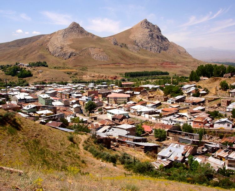
Tercan (formerly Mama Hatun, and Derzene in the Byzantine era) is a town and district of Erzincan Province in the Eastern Anatolia region of Turkey. The district covers an area of 1,592 km2 (615 sq mi) and its total population is 20,072 of which 6,646 live in the town of Tercan.
Contents
Map of Tercan, Erzincan, Turkey
The town is especially notable for the 12th century complex of buildings built by the Saltukid female ruler Melike Mama Hatun, which comprises her tomb, a mosque, a hammam and an impressive caravanserai which was heavily restored in recent years.
The 17th century Ottoman traveller Evliya Celebi visited the place in 1647, calling it Mamahatun. He wrote about the Saltukid complex and described the town as "a Muslim village containing two hundred houses".
Sights
References
Tercan Wikipedia(Text) CC BY-SA