
Phone number 0260-26-2111 Population 1,319 (Oct 2016) | Area 109.4 km² Local time Wednesday 4:48 PM | |
 | ||
Weather 13°C, Wind W at 14 km/h, 47% Humidity | ||
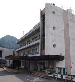
Tenryū (天龍村, Tenryū-mura) is a village located in Shimoina District in far southern Nagano Prefecture, in the Chūbu region of Japan. As of 1 October 2016, the village had an estimated population of 1,319 and a population density of 12.1 persons per km². Its total area was 109.44 square kilometres (42.26 sq mi).
Contents
- Map of Tenryu Shimoina District Nagano Prefecture Japan
- Geography
- Surrounding municipalities
- History
- Education
- Railway
- Highway
- References
Map of Tenryu, Shimoina District, Nagano Prefecture, Japan
Geography
Tenryū is located in mountainous far south of Nagano Prefecture on its border with Aichi Prefecture and Shizuoka Prefecture. The Tenryū River runs through the village, which is over 90% covered in mountains and forest. Hiraoka Dam is located within Tenryū.
Surrounding municipalities
History
The area of present-day Tenryū was part of ancient Shinano Province. The modern village was established on September 30, 1956 by the merger of the villages of Hiraoka and Kamihara.
Education
Tenryū has one public elementary school and one public middle school operated by the village government. The village does not have a high school.