
Existed: 1917 – present Constructed 1917 | Length 193.1 km | |
 | ||
Counties | ||
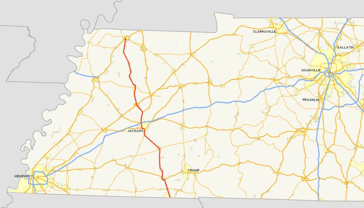
State Route 5 (abbreviated SR-5) is a 120-mile-long (190 km) north–south state highway in the western part of the U.S. state of Tennessee. Except for the section northwest of Union City, it is entirely concurrent with U.S. Route 45 (US-45) and US-45W.
Contents
Map of TN-5, Tennessee, USA
Route description
SR 5 is the hidden designation for US 45 and US 45W for most of the highway's length through the state. SR 5 at its southern terminus is a 4-lane, divided, limited-access expressway and is designated as a primary state highway. In contrast, the northern terminus is quite rural in nature and exists as a two-lane secondary state highway. SR 5 follows Highland Avenue through the City of Jackson, Tennessee and US 45 Business through Humboldt, Tennessee. At Union City, Tennessee, SR 5 becomes a fully signed secondary highway and follows First Street and Main Street through the city. At its junction with US 51, SR 5 continues along Main Street and becomes a primary state highway which overlaps Tennessee State Route 22. At Lake Drive in Union City, Tennessee State Route 22 turns west toward Samburg, Tennessee. SR 5 past Lake Drive is signed as a secondary state highway and continues north toward the state line. The signed portion of SR 5 exists entirely within Obion County, Tennessee and is approximately 7.8 miles (12.6 km) in length.
History
Several old alignments (most are two-lane) of SR 5 exist throughout the state with the most notable examples being near the Mississippi state line, a section of old highway 45 between Bethel Springs and Selmer, Tennessee State Route 367 through Trenton, and a long stretch of old highway between Trenton and Rutherford.
Originally, SR 5 north of Trenton followed a much different route from the current alignment. From Trenton, SR 5 bent to the northeast, following the old Dresden Road as far as Greenfield, where it turned north and roughly followed the present-day SR 43. As evidenced by road maps published by the National Map Company and Rand McNally, sometime between 1927 and 1935, SR 5 was rerouted to follow the former SR 41 north to Kenton and on to Union City.
Future
TDOT has proposed widening SR 5 in Obion County as part of The 2008-2010 Transportation Improvement Program. Right-of-way acquisition will begin in FY 2008 on a section of SR 5 from Troy Station Road to Allie Campbell Road and in FY 2010 for the section between Allie Campbell Road and SR 22. This will leave a two-lane section of SR 5 from Rutherford, Tennessee to a point just north of the Obion River.