
Bridges Hill–Talley Bridge | Country United States of America | |
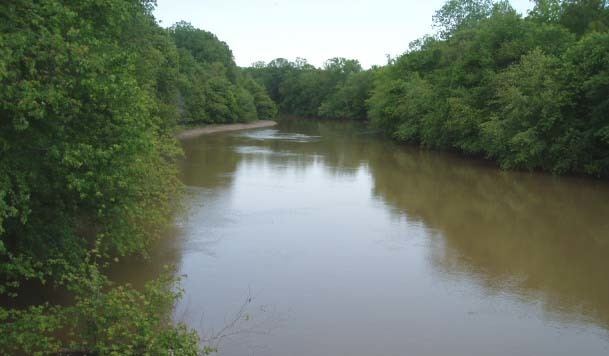 | ||
River mouth | ||
South fork obion river water level logger installation
The Obion River system is the primary surface water drainage system of northwestern Tennessee.
Contents
Map of Obion River, Tennessee, USA
The Obion has four major forks, the North Fork, Middle Fork, South Fork and Rutherford Fork (which is named after the town of Rutherford). The confluences of these forks are only a few miles above the mouth of the Obion's discharge into the Mississippi River. For the greater parts of their lengths, the forks exist as separate streams.
In the mid-20th century, the Obion system was largely channelized for agricultural purposes, under the auspices of the Obion-Forked Deer Basin Authority, a Tennessee state agency which coordinated this work with the United States Army Corps of Engineers. Some of the results of channelization included increasing erosion, loss of wildlife habitat, and increased flooding downstream. With the restoration of wetlands, this process has now been halted and – in a few places – even somewhat reversed.
The origin of the name "Obion" is obscure, with some contending that it derives from a Native American word and others that it represents a corruption of the name of an Irish trapper, O'Bion or, perhaps, O'Brien.
Obion County, Tennessee, is named after the Obion River.
After the 1818 Chickasaw cession of West Tennessee (known in Kentucky as Jackson Purchase) Davy Crockett moved to the South Fork Obion River, until his later move to Texas.