
Postal codes 9140 Area 39.92 km² Local time Wednesday 2:49 AM | Area codes 03 Postal code 9140 | |
 | ||
Weather 11°C, Wind SW at 11 km/h, 83% Humidity | ||
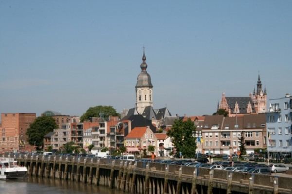
Temse ( [ˈtɛmsə]) is a municipality in East Flanders, Belgium.
Map of Temse, Belgium
The municipality comprises the towns of Elversele, Steendorp, Temse and Tielrode. On January 1, 2012, Temse had a population of 28,809. The total area is 39.92 km² which gives a population density of 722 inhabitants per km².
The name Temse is derived from the Gallo-Roman/Gaul Tamisiacum or Tamasiacum. This is also reflected in the French name for the town, Tamise.
The town is at one end of the Temse Bridge, the longest road bridge in Belgium, which crosses the River Scheldt. Between 1829 and 1994, Temse was home to the Boelwerf shipyard which for much of the twentieth century dominated the local economy and employment market.
References
Temse Wikipedia(Text) CC BY-SA