
Local time Wednesday 4:00 AM | ||
 | ||
Website www.sabah.gov.my/pd.tlp Weather 24°C, Wind W at 3 km/h, 95% Humidity | ||
Telupid is a small district in Sabah located between 98 kilometre from Ranau, 100 kilometre from Beluran and 130 kilometre from Sandakan.
Contents
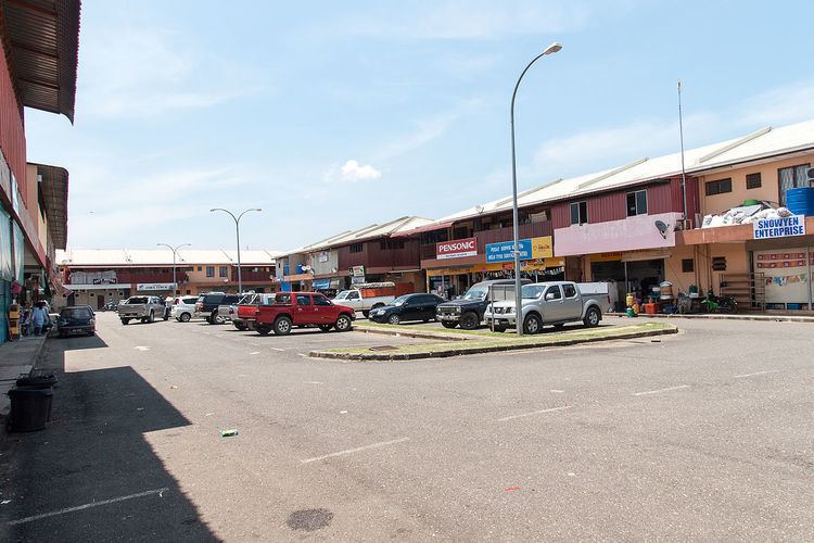
Map of Telupid, 89100 Beluran, Sabah, Malaysia
History
Telupid was firstly settled around 1940s and became the major route for the Sandakan Death Marches during World War II. At the time, it was mainly inhabited by the Dusun people. The present district was formed around 1965, shortly after Sabah became part of Malaysia. The district was developed following the agreement between the Australian and Malaysian government to jointly build road. Following the availability of road, a number of infrastructures start to be built there. Under the administration of United Sabah National Organisation (USNO) in 1970, Telupid was made a small-district.
References
Telupid Wikipedia(Text) CC BY-SA