
Local time Wednesday 2:57 AM | ||
 | ||
Weather 26°C, Wind N at 5 km/h, 89% Humidity | ||
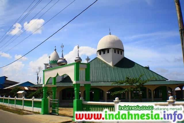
Ajo tdc teluk dalam community
Teluk Dalam is a sub-district in the South Nias regency, North Sumatra province, Indonesia. Its area is 490 km2 (190 sq mi). In English, Teluk Dalam means "Deep Gulf". As of 2004, Teluk Dalam has 39 villages with a population of 76,750 and a population density of 157/km². Teluk Dalam has various tourist sites, such as Sorake Beach, Lagundri Beach and Bawömataluo which hosts Nias traditional houses of hundred years ago.
Contents
- Ajo tdc teluk dalam community
- Map of Teluk Dalam South Nias Regency North Sumatra Indonesia
- Nias teluk dalam
- History
- References
Map of Teluk Dalam, South Nias Regency, North Sumatra, Indonesia
Nias teluk dalam
History
Teluk Dalam port came about after the original port in the south of Nias Island was in Lagundri Bay. In 1883, the resulting tsunami from the Krakatau volcano in the Sunda Strait between Sumatra and Java washed the original Teluk Lagundri trade village away. The trade village was moved to the present position in Teluk Dalam.
On 28 March 2005, the 2005 Nias–Simeulue earthquake destroyed many ancient sites and many people were killed. On 2 April 2005, an Australian Sea King helicopter carrying 11 soldiers on a humanitarian mission to help the earthquake victims crashed there, killing nine soldiers.