
Lowest elevation 0 m (0 ft) | Highest elevation 450 m (1,480 ft) Time zone EET (UTC+2) | |
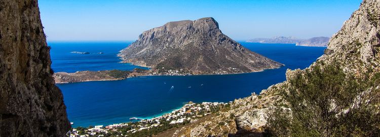 | ||
Telendos by drone
Telendos, (Greek: Τέλενδος) is a Greek island in the southeastern Aegean Sea, belonging to the Dodecanese. It is approximately 1 km (0.6 mi) off the coast of the larger island of Kalymnos, of which it is administratively a part.
Contents
Map of Telendos, Greece
The island is approximately semi-circular in shape, consisting of a single, steep, flat-top mountain whose sides plunge directly into the sea. The only flat land is at the southern tip of the island, which is where the only settlement is located. There are no cars on the island, and in 2001 the population stood at 54. Telendos was joined to Kalymnos, becoming separated from it in the 6th century AD following a series of earthquakes.
References
Telendos Wikipedia(Text) CC BY-SA