
Climate Af | Time zone AEST (UTC+10) Local time Tuesday 10:34 PM | |
 | ||
Location 47 km (29 mi) NE of Tabubil272 km (169 mi) S of Vanimo470 km (290 mi) NNW of Daru780 km (480 mi) NW of Port Moresby Weather 16°C, Wind N at 0 km/h, 100% Humidity | ||
Tabubil telefomin and oksapmin road projects to begin next next year
Telefomin is a station town on the border of Sandaun and Western Provinces in Papua New Guinea. The town started during the Second World War after Mick Leahy was assigned to engineer an air-strip in 1944 for the United States for use against the Imperial Japanese Army forces based in New Guinea.
Contents
- Tabubil telefomin and oksapmin road projects to begin next next year
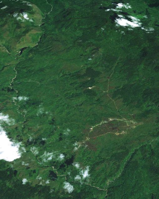
- Map of Telefomin Papua New Guinea
- References
Map of Telefomin, Papua New Guinea
The Sepik River runs west-east south of the town. The Baptist Mission of Telefomin contains a notable museum and fossils that have been found in the area.
The Telefomin peoples traditionally have carved designs onto tall boards for the entrances of their houses.
In 1953 two Australian patrol officers and four police were killed by tribesman in the Telefomin Incident.
References
Telefomin Wikipedia(Text) CC BY-SA