OS grid reference SN229331 Sovereign state United Kingdom Postcode district SA35 Local time Tuesday 8:39 AM Dialling code 01239 | Country Wales Police Dyfed-Powys | |
 | ||
Weather 8°C, Wind SE at 19 km/h, 88% Humidity | ||
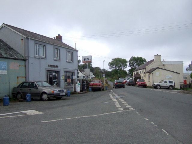
Tegryn is a hilltop linear village in north Pembrokeshire, Wales, in the community and parish of Clydau and is the largest settlement in the community.
Contents
Map of Tegryn, Llanfyrnach, UK
It is at the eastern end of the Preseli Mountains, 1 mile (1.6 km) north of Llanfyrnach.
Description
Tegryn is a village in the north Pembrokeshire community of Clydau and is home to the Clydau Community Centre (Canolfan Clydau), a charity. It was opened in November 2014 and cost £600,000.
The village has a pub, the Butchers Arms, a post office (established in 1948), a garage and a primary school.
Education
In 1860 a schoolroom was built near the chapel. The present school in Tegryn is Ysgol Clydau Primary School. A 2008-9 Estyn report described the school as having a strong Welsh ethos; there were 63 pupils between 4 and 11 years old, and a third of pupils used Welsh as a main language at home.
In 2014 there were 53 children at the school.
Worship
A Welsh Independent chapel was established at Llwyn-yr-hwrdd to the south of the village in 1805. It was rebuilt in 1817 and 1846, and in 1873 it had a membership of 335.
