Area code(s) +62 621 Population 145,248 (2010) | Time zone WIB (UTC+7) Area 31 km² Local time Tuesday 7:55 AM | |
 | ||
Website www.tebingtinggikota.go.id Weather 25°C, Wind S at 5 km/h, 93% Humidity Points of interest Waterpark Gundaling, Salon, Billiard Nabila | ||
Mars tebing tinggi dilengkapi lirik
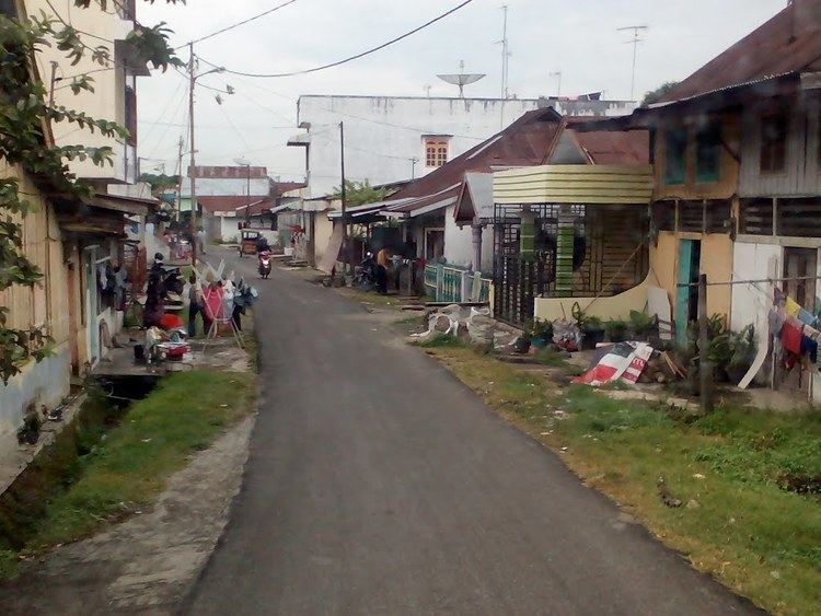
Tebing Tinggi Deli or more commonly simply Tebing Tinggi (Jawi: تبيڠ تيڠڬي) is a chartered city (kota) near the eastern coast of North Sumatra, Indonesia. It has an area of 31 km² and a population at the 2010 National Census of 145,180. It is surrounded by Serdang Bedagai Regency, which has a kecamatan (district) bordering the city named Tebing Tinggi as well.
Contents
- Mars tebing tinggi dilengkapi lirik
- Map of Tebing Tinggi City North Sumatra Indonesia
- Geography
- Administrative divisions
- Demographics
- References
Map of Tebing Tinggi City, North Sumatra, Indonesia
Geography
According to the Agency for Information and Communication Data North Sumatra, Tebing Tinggi is one of the municipality of 33 districts / municipalities in North Sumatra which is located around 80 km from Medan (capital of North Sumatra Province) and it is located on the across of Trans-Sumatran Highway, which connects East Coast Highway; Tanjung Balai, Rantau Prapat and Central Sumatra Highway; Pematangsiantar, Parapat, and Balige.
Administrative divisions
The city is divided administratively into five districts (kecamatan), tabulated below with their 2010 Census population:
Demographics
Majority of the residents of Tebing Tinggi is occupied by Malays (70%), Batak (11%) and Chinese (8%) meanwhile Javanese, Mandailing, Indian and other ethnics are known as ethnic minorities. The City's religion predominantly are Islam, followed by Christian and Buddhist and other religion.
