
Componenthighways: C-2 C-2 | Length 1.6 km | |
 | ||
To: Juan Luna Street in Tondo | ||
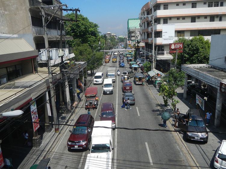
Tayuman Street is a four-lane east-west street in northern Manila, Philippines. It stretches 1.6 kilometers (1 mile) from the old San Lazaro Hippodrome in Santa Cruz to Barrio Pritil in Tondo district. The street is designated as part of Circumferential Road 2.
Contents
Map of Tayuman St, Manila, Metro Manila, Philippines
Tayuman begins as a continuation of Consuelo Street at an intersection with Lacson Avenue in Santa Cruz district fronting SM City San Lazaro. It crosses Rizal Avenue, passing underneath the Tayuman LRT Station where it continues past the headquarters of the Department of Health into the residential areas of Santa Cruz and Tondo. The street ends at Juan Luna Street near Puregold Tayuman supermarket.
The street was named after tayum, a type of indigo plant. It extends west from Juan Luna Street into Barrio Magsaysay and the Manila North Harbor in Tondo as Capulong Street.