
Country United States Time zone Eastern (EST) (UTC-5) Elevation 450 m Founded 1849 Local time Monday 1:11 PM | State New York Created 1849 ZIP code 13040 Area 78 km² Population 523 (2010) | |
 | ||
Weather 7°C, Wind S at 11 km/h, 94% Humidity | ||
Taylor is a town in Cortland County, New York, United States. The town is in the eastern part of the county and is east of Cortland. The population was 523 at the 2010 census. The town is named after General Zachary Taylor.
Contents
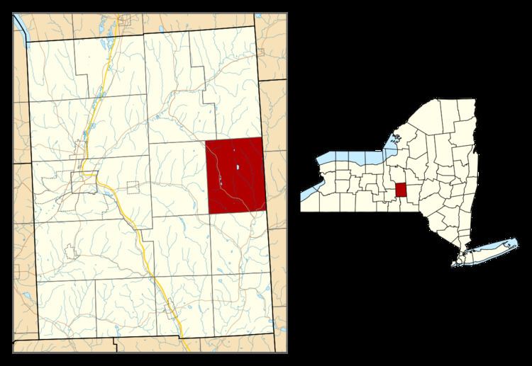
- Map of Taylor NY USA
- History
- Geography
- Demographics
- Communities and locations in Taylor
- Notable people
- References
Map of Taylor, NY, USA
History
Taylor was within the Central New York Military Tract. The first settlers arrived around 1793.
The town was formed from the town of Solon in 1849. By 1865, the population was 1,167.
The Town Line Bridge and Union Valley Congregational Church are listed on the National Register of Historic Places.
Geography
According to the United States Census Bureau, the town has a total area of 30.1 square miles (78.0 km2). 30.0 square miles (77.7 km2) of it is land and 0.12 square miles (0.3 km2) of it (0.41%) is water.
The east town line is the border of Chenango County.
New York State Route 26 cuts across the southeast part of the town.
Demographics
As of the census of 2000, there were 500 people, 177 households, and 138 families residing in the town. The population density was 16.6 inhabitants per square mile (6.4/km²). There were 216 housing units at an average density of 7.2 per square mile (2.8/km²). The racial makeup of the town was 98.20% White, 0.20% African American, 0.20% Native American, 0.20% Asian, and 1.20% from two or more races. Hispanic or Latino of any race were 2.00% of the population.
There were 177 households out of which 36.7% had children under the age of 18 living with them, 65.0% were married couples living together, 7.9% had a female householder with no husband present, and 21.5% were non-families. 16.4% of all households were made up of individuals and 5.1% had someone living alone who was 65 years of age or older. The average household size was 2.82 and the average family size was 3.12.
In the town, the population was spread out with 27.8% under the age of 18, 6.4% from 18 to 24, 31.0% from 25 to 44, 25.4% from 45 to 64, and 9.4% who were 65 years of age or older. The median age was 37 years. For every 100 females there were 108.3 males. For every 100 females age 18 and over, there were 107.5 males.
The median income for a household in the town was $37,031, and the median income for a family was $39,500. Males had a median income of $29,444 versus $22,727 for females. The per capita income for the town was $16,677. About 8.2% of families and 11.4% of the population were below the poverty line, including 12.7% of those under age 18 and 9.3% of those age 65 or over.