
Length 55 km (34.2 mi) Coastline 152.2 km (94.57 mi) Region ARMM Elevation 549 m | Width 23 km (14.3 mi) Highest elevation 549 m (1,801 ft) Area 580.5 km² | |
 | ||
Municipalities BongaoLanguyanPanglima SugalaTandubas | ||
Tawi tawi island bongao travel vlog
Tawitawi Island (also spelled Tawi Tawi or Tawi-Tawi) is a Philippine island in the Sulu Archipelago between the Sulu Sea and Celebes Sea, about 64 kilometres (40 mi) east of Borneo. It is the main island of Tawi-Tawi Province.
Contents
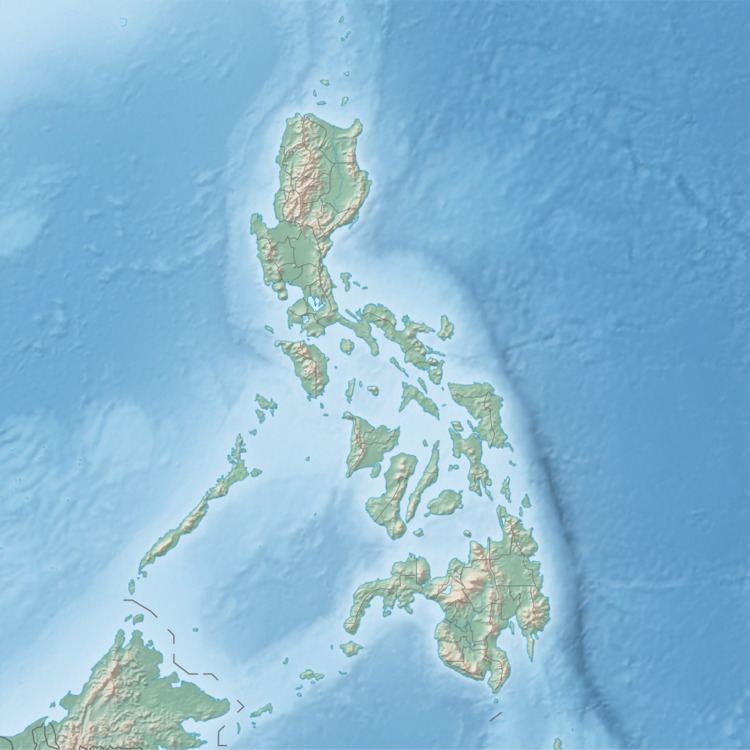
Map of Tawitawi Island, Philippines
Tawitawi has an area of 580.5 square kilometres (224.1 sq mi), making it the 20th largest island of the Philippines, and the 3rd largest island in the Sulu Archipelago (after Basilan and Jolo). It has a shoreline length of 152.2 kilometres (94.6 mi), and a maximum elevation of 549 metres (1,801 ft).
Tawitawi Island is of volcanic origin and irregular in shape, about 55 kilometres (34 mi) long and between 10 to 23 kilometres (6.2 to 14.3 mi) wide. It is hilly and heavily wooded, with splashes of white sandy beaches and rock-bound coasts.
The island is subdivided into 4 municipalities (Bongao, Languyan, Panglima Sugala, and Tandubas). The inhabitants are mostly Sama people, speaking Sama–Bajaw languages and of Muslim conviction.