Official name Tawarja Dam D01370 Opening date 1982 Impounds Tawarja river Height 14 m | Location Latur Type of dam Earthfill Length 2,222 m (7,290 ft) Surface area 741 km² | |
 | ||
Similar Manjara Dam, Mandohol Dam, Chulbandh Dam, Ozarkhed Dam, Lower Wardha Dam | ||
Tawarja Dam, is an earthfill dam on Tawarja river near Ausa, Latur district in the state of Maharashtra in India.
Contents
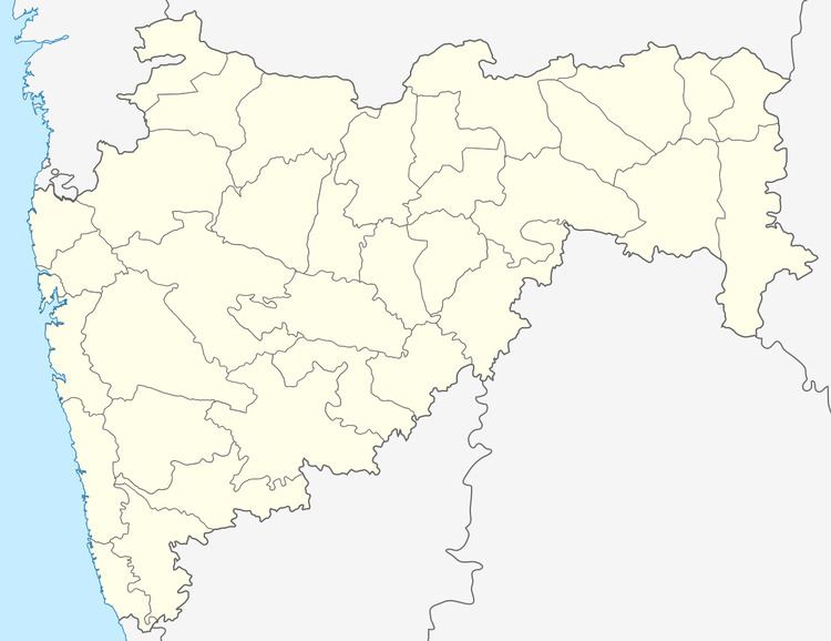
Map of Tawarja Dam, Maharashtra 413520
Specifications
The height of the dam above its lowest foundation is 14.3 m (47 ft) while the length is 2,222 m (7,290 ft). The volume content is 361 km3 (87 cu mi) and gross storage capacity is 20,520.00 km3 (4,923.01 cu mi).
Purpose
References
Tawarja Dam Wikipedia(Text) CC BY-SA
