
Surface area 95 km (37 sq mi) Surface elevation 356 m Province Québec First flooded 1931 | Area 95 km² Catchment area 4,070 km² | |
 | ||
Similar Plage Pointe‑Fine, Parc régional de la Chute, Lake Pohenegamook, Mont‑Tremblant National Park, Parc des Chutes Dorwin | ||
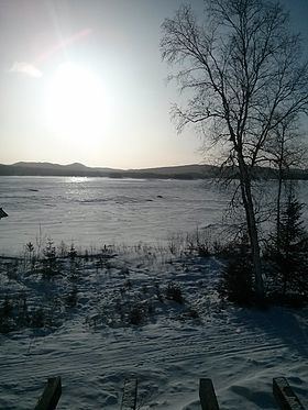
The Taurus Reservoir is a 95-square-kilometre (37 sq mi) reservoir in Matawinie, in the administrative region of Lanaudière, Québec, Canada. It is in the Saint Lawrence River drainage basin and is on the Matawin River.
Contents
Map of Reservoir Taureau, Baie-de-la-Bouteille, QC, Canada
ToponymyEdit
The reservoir is named after a river rapid that was flooded in 1931 by the damming of Matawin River by Shawinigan Water and Power. The noise of the latter was reminiscent of the bellowing of a bull.
GeographyEdit
This large lake has 239.4 kilometres (148.8 mi) of banks including many sandy beaches, including the beach of Pointe-fine located at the end of a peninsula that just into the centre of the lake. Sandy shores of "Baie du milieu" (bay of the Middle), and "des Embranchements" and "du Poste" attract wilderness camping and swimming fans.
The Matawin River flows into the "Taureau reservoir" on the west side, and resumed its course at the outlet of the lake (eastern side) controlled by the "Matawin dam", erected at the end of the "Bay of the dam" at an altitude of 356.58 metres (1,169.9 ft).
Taureau reservoir has 45 islands; the most important are:
Taureau Reservoir has three main parts (each has a north-south orientation) connected by a narrow passage. Each part has several large bays: