
Rural localities 15 Founded 1913 | rural okrug 14 Area 18,984 km² | |
 | ||
Municipally incorporated as | ||
Tattinsky District (Russian: Таттинский улу́с; Yakut: Таатта улууһа, Taatta uluuha) is an administrative and municipal district (raion, or ulus), one of the thirty-four in the Sakha Republic, Russia. It is located in the eastern central part of the republic and borders with Tomponsky District in the north and east, Ust-Maysky District in the south, Churapchinsky District in the southwest, and with Ust-Aldansky District in the northwest. The area of the district is 19,000 square kilometers (7,300 sq mi). Its administrative center is the rural locality (a selo) of Ytyk-Kyuyol. Population: 17,242 (2010 Census); 16,601 (2002 Census); 15,933 (1989 Census). The population of Ytyk-Kyuyol accounts for 39.6% of the district's total population.
Contents
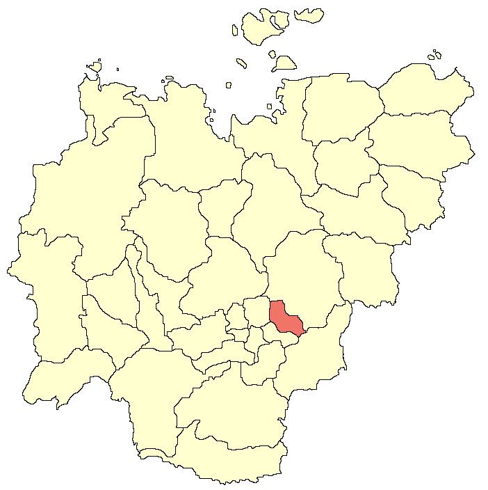
- Map of Tattinsky District Sakha Republic Russia
- Geography
- Climate
- History
- Demographics
- Economy
- Inhabited localities
- References
Map of Tattinsky District, Sakha Republic, Russia
Geography
The landscape of the district is mostly flat. Its main rivers include the Amga and the Aldan.
Climate
Average January temperature ranges from −44 to −42 °C (−47 to −44 °F) and average July temperature is +18 °C (64 °F). Annual precipitation is 200–250 millimeters (7.9–9.8 in).
History
The district was established on May 25, 1930. Until 1990, it was called Alexeyevsky (Алексе́евский).
Demographics
As of the 1989 Census, the ethnic composition was as follows:
Economy
The economy of the district is mostly based on agriculture.
Inhabited localities
Divisional source:
Population source:
*Administrative centers are shown in bold