
OS grid reference TQ2557 Sovereign state United Kingdom Local time Monday 11:24 AM | Civil parish n/a Area 245 ha Dialling code 01737 | |
 | ||
Population 7,274 (2011 census. Ward) Weather 11°C, Wind NE at 11 km/h, 71% Humidity | ||
Tattenham Corner is a neighbourhood in north Surrey, UK, but the name is principally associated with Epsom Racecourse. At the 2011 Census the population was included in the Tattenhams ward of Reigate and Banstead Borough.
Contents
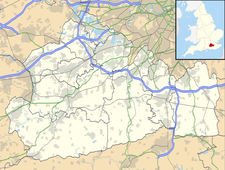
- Map of Tattenham Corner Epsom UK
- Location
- History
- Topography of Tattenhams
- Demography and housing Tattenhams ward
- Transport
- References
Map of Tattenham Corner, Epsom, UK
Location
Tattenham Corner refers to the sharp bend in the track at the eastern (upper) part of Epsom Racecourse and its immediate vicinity, which includes Tattenham Corner railway station, a few shops and a branch library. The racecourse itself and a short length of road between the station and the course are in the borough of Epsom & Ewell. The remainder of the local area, which is residential and has a high proportion of Central London commuters, is known as Tattenhams or Great Tattenham and Little Tattenham, and is in Tattenhams ward of Reigate & Banstead.
History
The area is on the northern slope of the North Downs. It was formerly used largely for cattle pasture, sheep farming and wood gathering. By the 1770s, Tattenham Corner was the established name for the top section of the relatively new Epsom Racecourse on Epsom Downs. Between 1850 and 1950 much of the area was built up. The railways arrived in the area.
Topography of Tattenhams
Tattenhams (sometimes known as Tattenham Corner after the station) is a residential area centered on the road Great Tattenhams (B2221). It largely coincides with the Tattenhams ward of Reigate & Banstead Corner. It is bounded to the south by the Preston Estate, to the south-west by Tadworth, to the west by Walton Downs and Epsom Downs, to the north by Nork and to the east by Banstead. Elevations range between 180 m AOD (above sea level) at its south-east corner and 140 m along most of the northern border. The ward also includes, at its east end and some way from Tattenham Corner, a small area known as Great Burgh, which usually refers only to the former manor site there.
Tattenhams has an established Church of England parish.
Demography and housing: Tattenhams ward
The average level of accommodation in the region composed of detached houses was 28%, the average that was apartments was 22.6%.
The proportion of households who owned their home outright compares to the regional average of 35.1%. The proportion who owned their home with a loan compares to the regional average of 32.5%. The remaining % is made up of rented dwellings (plus a negligible % of households living rent-free).
Homes, mostly split between the three main types of houses with gardens are predominantly of early twentieth-century origin. The fourth category of homes here, apartments range in date from the late-twentieth to the early twenty-first centuries.
Transport
Tattenham Corner railway station is where Queen Elizabeth II used to be dropped off by the Royal Train on race days, and is closer to the racecourse than Epsom Downs railway station. There are several bus services going through the area, towards Epsom, Sutton or Redhill. In 1993 it was the site of a train crash, where a driver several times over the then legal drink-drive limit failed to stop the train at the buffers, crashing into the station-hut.