
Max. length 35 km (22 mi) Length 35 km | Surface elevation 10 m | |
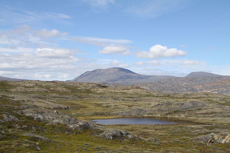 | ||
Dji phantom 2 gopro drone footage of the lake tasersuaq in qaqortoq greenland 2015
Tasersuaq (old spelling: Taserssuaq) is a large lake in the Qeqqata municipality in central-western Greenland. The name of the lake means large lake in the Greenlandic language, and is a common name shared by several lakes in the country.
Contents
- Dji phantom 2 gopro drone footage of the lake tasersuaq in qaqortoq greenland 2015
- Geography
- Polar route
- References
Geography
Tasersuaq is a latitudinal lake of elongated sausage shape, extending from approximately 66°59′50″N 52°15′00″W in the west to 67°00′15″N 51°27′45″W in the east, located halfway between Sisimiut in the west and Kangerlussuaq in the east, approximately 63 km (39 mi) east of the former, and 69 km (43 mi) west of the latter. In the northwest the lake is bounded by tall mountains of the Pingu mountain group. The range flattens considerably towards the east in the area of Kangaamiut dike swarm north of Kangerlussuaq, due to pressure exerted by the Greenland ice sheet (Greenlandic: Sermersuaq) for long periods in the past. The eastern end of the lake is located just west of the Tarajornitsut highland.
Polar route
The tough, 160 km (99 mi) long Arctic Circle Race takes place each winter, with the trail partially overlapping with the Polar Route from Sisimiut to Kangerlussuaq. The race was inaugurated in 1998, since then becoming an international competition. The Polar Route passes near the southwestern shore of Tasersuaq, in the Kangerluatsiarsuaq bay of the lake, where a hut erected by the Sisimiut tourist office stands at the shore. The route then heads to the southeast, towards Amitsorsuaq lake, and further east to Tarajornitsut, ending in Umiarsualivik on the shores of Kangerlussuaq Fjord, approximately 10 km (6.2 mi) west-south-west of Kangerlussuaq.