
Local time Monday 2:04 AM | ||
 | ||
Weather 21°C, Wind NE at 14 km/h, 88% Humidity Team Tarrafal FC de Monte Trigo | ||
Mar tranquilidade time oasis tarrafal de monte trigo santo ant o cabo verde
Tarrafal de Monte Trigo is a settlement in the southwestern part of the island of Santo Antão, Cape Verde. It is situated on the coast, 27 km west of the island capital Porto Novo, the parish boundary with Santo André is around halfway to the north. The island is linked by a single dirt road connecting the east of the island, until 2000, the portion crossing the mountain was dirt, in 2002 the eastern stretch became paved, the paved road reached the summit area in 2007 and some 3 kilometers west as of 2016, the remainder remains unpaved and is one of the last roads in the country remain unpaved, a pathway connects with Monte Trigo to the north that takes 2h 30 min to reach. It also has a ferry service with Monte Trigo in the northwest of the island and its length is 40 minutes.
Contents
- Mar tranquilidade time oasis tarrafal de monte trigo santo ant o cabo verde
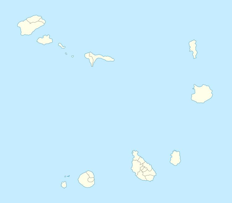
- Map of Tarrafal de Monte Trigo Cape Verde
- Sporting clubs
- References
Map of Tarrafal de Monte Trigo, Cape Verde
The valley consists of the agricultural groves, some farmlands and a some woods, much of the area are barren grasslands and the terrain consists of lava flows mainly dating back to the last eruption 200,000 years ago.
The Young Tarrafal Group is a rock formation made from the island's last eruption 200,000 years ago out of a plinian volcanic eruption. It consists of nephelite rocks.