
Population 668 (2006 census) Postcode(s) 5371 State electorate(s) Light Founded 1863 Local time Thursday 9:45 AM | Established 1863 Elevation 114 m Postal code 5371 Federal division Division of Wakefield | |
 | ||
Location 10 km (6 mi) N of Gawler Weather 20°C, Wind SE at 11 km/h, 65% Humidity | ||
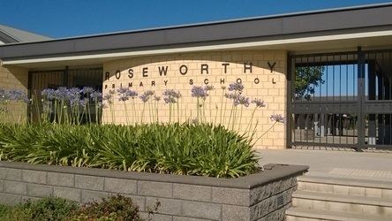
Roseworthy is a small town in South Australia, about 10 km north of Gawler on the Horrocks Highway. As of 2011, Roseworthy had a population of 1216.
Map of Roseworthy SA 5371, Australia
Roseworthy has a large grain storage facility consisting of both storage silos and bunkers for grain grown in the surrounding areas, and grain is now taken by road transport to Port Adelaide for export where it was once taken by rail. Roseworthy is the junction of the former Peterborough railway line and Morgan railway lines, both constructed as broad gauge railway lines, and remained that gauge for their entire service. Both lines were originally built to support export from copper mines, respectively at Burra and Kapunda before being extended beyond those towns. The railways later served primarily to carry grain to port instead of copper, but have now been supplanted by road transport.
The Roseworthy campus of the University of Adelaide, including the Murray Institute of TAFE, is west of the town. It is well known for training winemakers, but also teaches other agricultural science subjects.
Roseworthy is in the Light Regional Council, the state electoral district of Light and the federal Division of Wakefield.